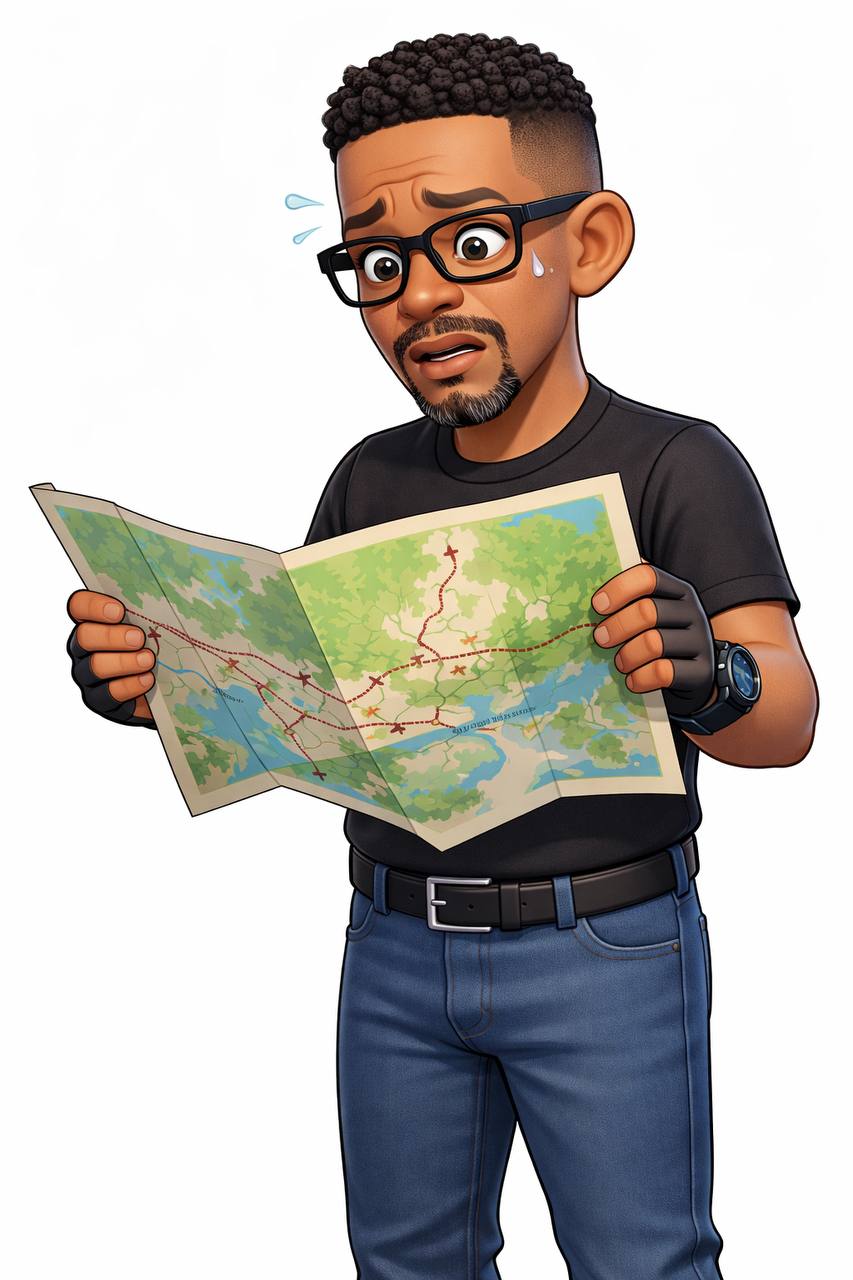
So. You're driving through Lusaka. You've got an address written on your phone. You put it into Google Maps. It says turn left in 400 metres.
You turn left.
There's no road. Just a wall around a residential area and a very confused security guard who starts laughing.
This is Zambia. This is what I wanted to test.
Two weeks. Three map apps. Every area of Lusaka I could think of. Kafue Road. Mumbwa Road. The roundabouts that aren't round. The roads that are named but don't exist. The roads that exist but don't have names.
Here's what I found.
Google Maps
Let's get this out the way first. Google Maps is the best thing we have in Zambia. Full stop.
Turn-by-turn navigation has been here since 2010. The satellite view is useful when you're trying to figure out if a shortcut is actually a shortcut or someone's backyard. They've been rolling out AI features over the past year, things like asking the app questions about a place rather than searching for it.
For the basics, it works. Main roads, highways, getting from the airport to town, finding a specific mall or hospital. Google Maps handles these fine.
But.
There's always a but when it comes to Zambia.
Street View here is almost useless. They've never done a proper Street View car run through most of Lusaka. What you get is blurry, outdated imagery from 2018 or earlier in some areas. Some parts of the city have never been covered.
And the addresses. This is where Google Maps breaks down. Most residential areas in Lusaka don't have proper street addresses. When you search for "House 23, Kamloops, Lusaka" Google Maps will stare at you blankly for a second, then drop a pin somewhere in the middle of an area and say "that's it."
Your best bet on Google Maps in Lusaka is to use the satellite view, find the house or building visually, drop a pin, and save that pin. Then share it with whoever needs to find you. Don't rely on the search function for addresses.
Also, traffic data exists but it's not as granular as in South Africa or Kenya. You'll know there's a jam on Kafue Road but it won't tell you which alternative route is fastest. In that sense the real-time data is better than nothing but not as useful as it could be.
The verdict on Google Maps for Zambia:
Works for: main roads, highways, known businesses, getting between areas you're familiar with.
Struggles with: residential addresses, new developments, small businesses, any area that's grown in the last five years.
Apple Maps
Apple Maps in Zambia exists. That's about the best thing I can say about it.
As of early 2026, turn-by-turn navigation is not available in Zambia. You can open it, you can see the map, you can scroll around, but if you ask it to navigate you somewhere it will politely decline or give you a straight line that goes through buildings.
The satellite view is decent. The interface is clean. Apple has been improving their global coverage steadily and Zambia shows up on their maps, but the navigation layer is missing.
If you're an iPhone user and you want to use Apple Maps in Zambia, what you'll end up doing is opening Apple Maps to look at where something is, then copying the location and pasting it into Google Maps to actually navigate there. Which defeats the purpose.
The one thing Apple Maps has going for it is that their 3D view and rendering of major landmarks is actually quite nice. You can see the roof of East Park Mall rendered in 3D which is more than Google offers here. But that aesthetic quality doesn't help when you need to find a pharmacy in Chawama.
The verdict on Apple Maps for Zambia:
Works for: looking at pretty maps, scoping out areas, window shopping locations.
Does not work for: actual navigation, turn-by-turn, routing.
Your iPhone is not a substitute for Google Maps in Zambia.
Waze
Waze is where it gets interesting.
Waze is owned by Google but it operates differently. Instead of relying purely on satellite data and their own mapping teams, Waze uses real drivers to update the map in real time. Someone hits a pothole, reports it on Waze, everyone behind them knows. Traffic jams, accidents, road closures, police speed traps. Waze crowdsources all of that.
In theory, this should make Waze incredible for Zambia. We have road conditions that change constantly. Unmaintained roads, roads that appear overnight after rain, roads that are only passable in dry season. Waze's model is theoretically perfect for an environment like this.
In practice, it depends on how many people are using Waze in your area.
In Lusaka, Waze has a small but active user base. You'll get alerts on the main roads, the highway into town from the airport, the Kafue Road stretch. Reports of jams and police come through. But venture into newer areas, peri-urban settlements, anywhere that doesn't have a established Waze community and you're essentially back to Google Maps with extra steps.
The GPS accuracy issue I found is real though. Waze is more sensitive to GPS drift than Google Maps. In areas with poor cellular coverage, which is most of Lusaka outside the city centre, Waze will occasionally lose your position and reconnect you to the wrong road. Not often, but enough that you learn to double-check where you actually are before following its instructions.
One thing Waze does well that Google Maps doesn't is rerouting when you miss a turn. Google Maps will patiently recalculate and take you back on course. Waze seems to more aggressively look for shortcuts and alternatives when you deviate from its planned route. In Lusaka where missing turns is basically guaranteed because the road you wanted to turn onto isn't there, this can either save you or take you somewhere completely different.
The verdict on Waze for Zambia:
Works for: main roads, known problem areas, traffic alerts if you're in a busy zone.
Struggles with: GPS drift in low coverage areas, sparse user data in newer areas, addresses are still a problem just like Google Maps.
So Which One?
Use Google Maps as your primary. It's the only app that will actually get you from A to B in Zambia with any reliability.
Keep Waze running in the background if you're driving somewhere unfamiliar. The crowd-sourced alerts about road closures and police are genuinely useful even with a smaller user base in Lusaka.
Forget Apple Maps as a navigation tool. Use it for looking at satellite view if you want, but don't expect it to navigate you anywhere.
The deeper problem is that all three of these apps are solving the same underlying problem. They're trying to put Zambia's chaotic, under-mapped, unaddressed geography into a system designed for cities with proper street names and numbers.
Nothing will fully work until Zambia has a functioning national address system. ZICTA has been working on one for years. Until that exists, every map app is working with incomplete data and making best guesses.
Until then, here's what actually works:
Save pins for everywhere important. Share your live location when someone needs to find you. Use the satellite view to orient yourself before you start driving. And keep asking locals. Nobody knows Lusaka better than the people who live there.
Maps are a tool. In Zambia they're a rough guide. The real navigation is still human.
Have a map app that works better for you? Something I missed? Find me on The Vent and tell me about it.